The road to Milford Sound is a journey in and of itself. The 120-km (75 mi) drive takes about an hour and a half if you just drive and don't stop, but that's the kicker: it's impossible not to stop and take in the views, wander along the tracks, marvel at the diversity of the thing. The Milford Road, like the surrounding landscape, has different personalities depending on the weather; on bluebird days, its vertical walls and snowcapped peaks will amaze, while during rain, the mountains and cliffs are laced with delicate strands of waterfalls weaving their way down from the top. Here's my photo log of a couple trips I took up the Milford Road as part of my training for DOC.
 |
| Stormy Lake Te Anau, along the beginning of the road. |
 |
| The Eglinton River valley, on a moody day. |
 |
| The Eglinton valley again, looking more happy. Me, Susanna, and Anja, the three new DOC girls! |
 |
| Mirror Lakes. |
 |
| Mirror Lakes. |
 |
| A rare still view of Lake Gunn. |
 |
| Anja, bird whisperer, making friends with a curious kea. |
 |
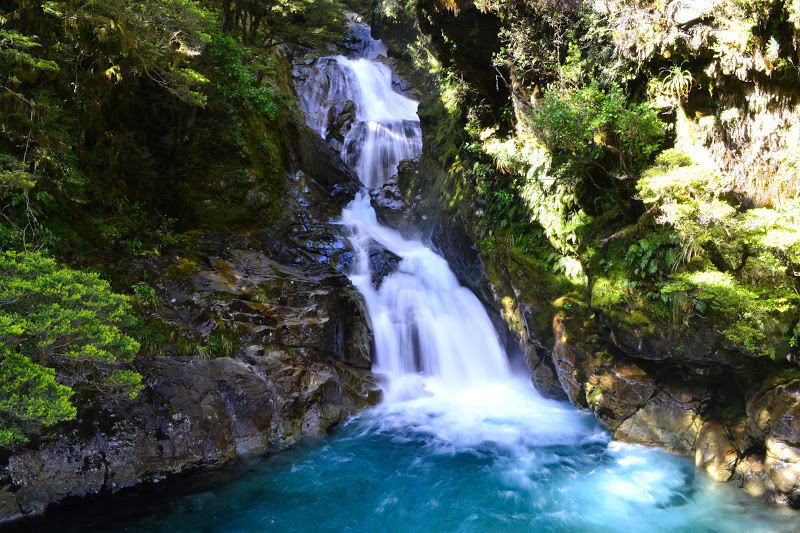
| Roadside waterfalls. |
 |
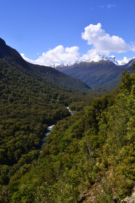
| Hollyford River - my next goal. |
 |
| The valley ascending towards Homer Tunnel and, eventually, Milford Sound. |
 |
| Looking back down that valley from the Homer Tunnel. |
 |
| Homer Tunnel, east side. |
 |
| Abundance of waterfalls on a rainy day. |
 |
| The road descending from the west side of the Homer Tunnel to Milford. |
 |
| Milford Sound. As another part of our training, we went on a cruise through the Sound. |
 |
| Sterling Falls in Milford Sound. |
 |
Fairy Falls getting blown away by the wind.
 |
 |
| The entrance to the Sound from the ocean. |
 |
| Sterling Falls, this time up close and personal. |
 |
| Mitre Peak (1685 m / 5582 ft) and The Lion (1302 m / 4272 ft), like guards at the gate. |
 |
| Mitre Peak and Sinbad Gully to the left. |
 |
| More mountains along the Milford Road. |
 |
| The Hollyford valley, the site of another track in Fiordland National Park. |
 |
| Susanna, Anja, and yours truly, enjoying our journey on the Milford Road. |
All photography copyright Kendall DeLyser.


No comments:
Post a Comment